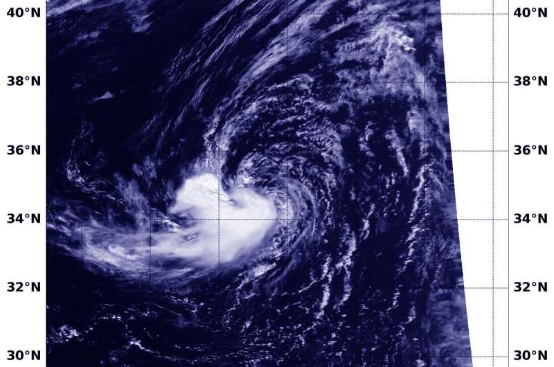
NASA satellite finds 16W now subtropical

NASA-NOAA's Suomi NPP satellite found 16W was still being battered by wind shear after transitioning into an extra-tropical cyclone.
On July 31 at 5 p.m. EDT (2100 UTC), the Joint Typhoon Warning Center, or JTWC, noted that Tropical Depression 16W was located near 34.6 degrees north latitude and 150.1 degrees east longitude, about 568 nautical miles southeast of Misawa, Japan. 16W had maximum sustained winds near 25 knots (28.7 mph/46.3 kph). It was moving to the north-northwest.
The JTWC reported that the cyclone had fully transformed into a subtropical system characterized by "an expansive wind field with the strongest winds away from the center, upper level low directly overhead, absence of a warm anomaly at the core, and cold, dry air intrusion from the northwest."
On Aug. 1 at 0348 UTC (July 31 at 11:48 p.m. EDT) the Visible Infrared Imaging Radiometer Suite (VIIRS) instrument aboard NASA-NOAA's Suomi NPP satellite captured visible image of 16W over the open waters of the Northwestern Pacific Ocean. 16W appeared asymmetrical on the VIIRS imagery with the bulk of clouds pushed south of center.
The JTWC said there would be no more warnings on Subtropical Depression 16W.
Provided by NASA's Goddard Space Flight Center


