Researchers create tool to improve geographic projections in atmospheric modeling

Open-source code developed by a Penn State graduate could improve weather forecasting and a range of other research endeavors that rely on pairing atmospheric models with satellite imagery.
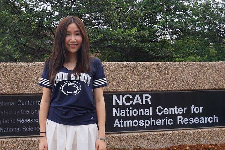
Yanni Cao, who earned her master's degree in geography in 2016, developed the code while a member of Penn State's Geoinformatics and Earth Observation laboratory (GEOlab) as a way to fix errors created when satellite data is combined with the Weather Research and Forecasting (WRF) model. The work was done in collaboration with her adviser, Guido Cervone, head of GEOLab, associate professor of geoinformatics and associate director of the Institute for CyberScience, and the National Center for Atmospheric Research (NCAR).
To streamline calculations, the commonly used WRF model—like most—assumes the Earth is a perfect sphere. Yet satellites capture a more realistic oblate spheroid shape of the Earth, as planets are bulged due to gravity and rotation. Inaccuracies in calculations are caused by shifting locations of models from a perfect sphere to the observational data on Earth that flattens near the poles and bulges around the equator.
"The basic idea is that the Earth is not a perfect sphere," said Cao. "In order to make easy computations, most, if not all, weather models see the Earth as a perfect sphere. However, most of the remote sensing systems see the Earth as a spheroid. There is a difference between the two. When you use spheroid geographic coordinate systems with a spherical model, a mismatch is created."
This is widely known to cause calculation errors, Cao said, but those errors are more pronounced when models are set to run with high spatial resolution. For example, location errors of up to 13 miles were introduced into the WRF model when it was run at a .6-mile grid size, causing errors in temperature and other weather variables, particularly near mountains and bodies of water.
To analyze these errors and develop a methodology that fixes these issues, Cao analyzed an area of the U.S. that is about 17,000 square miles. She used the WRF model under three scenarios: low resolution satellite data, high resolution satellite data, and then WRF-corrected data using the code she created. Cao selected an area in the northeast United States because it contained large elevation gradients and diverse land-use patterns such as forests, urban areas and wetlands.
She used the data to quantify how pairing WRF models with differing satellite resolutions has an impact on projecting meteorological variables such as temperature, wind direction, wind speed and atmospheric mixing ratios.
"While some of these errors can be small, they still introduce bias into the model output," Cao said. "For very high resolutions simulations, these biases are compounded and can lead to significant errors in the model results."
Her results show that the mismatch resulted in errors in the model results for each variable.
Cao used this methodology to improve the accuracy of models for methane emissions and now works as a data scientist detecting methane leaks for Picarro, a private company based in Silicon Valley.
Cervone added that the code will be beneficial in a range of research areas. "This research fits well with questions being investigated at NCAR, which is why researchers there were so interested in advancing this new tool," said Cervone. "And it will only prove to be even more useful as high resolution satellite imaging becomes more commonplace."
The research was published in Geoscientific Model Development.
More information: Yanni Cao et al. Analysis of errors introduced by geographic coordinate systems on weather numeric prediction modeling, Geoscientific Model Development (2017). DOI: 10.5194/gmd-10-3425-2017
Provided by Pennsylvania State University


