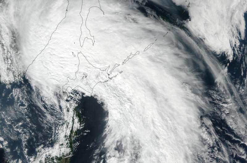
NASA sees Talim now extra-tropical

Tropical Storm Talim made landfall on Kyushu, the large island of southwestern Japan, where it weakened to an extra-tropical storm. NASA-NOAA's Suomi NPP satellite captured an image of the storm after its transition.
The Visible Infrared Imaging Radiometer Suite (VIIRS) instrument aboard NASA-NOAA's Suomi NPP satellite captured a visible light image of Talim on Sept. 18 at 0254 UTC (Sept. 17 at 10:54 p.m. EDT). The VIIRS image showed that Talim resembled a frontal system as the bulk of clouds were north and northeast of the center.
The Joint Typhoon Warning Center (JTWC) issued the final advisory on Talim on Sept. 18 at 0300 UTC (Sept. 17 at 11 p.m. EDT). At that time, Extra-tropical storm Talim was centered near 41.7 degrees north latitude and 141.0 degrees east longitude, about 79 miles north of Misawa, Japan. Maximum sustained winds were near 55 knots (63.2 mph/102 kph). Talim was speeding to the north-northeast at 46 knots (53 mph/85 kph).
JTWC expects Talim to track over the big islands of Japan and curve into the Sea of Okhotsk by Sept. 19.
Provided by NASA's Goddard Space Flight Center


