Scientists unveil Pilbara's water system

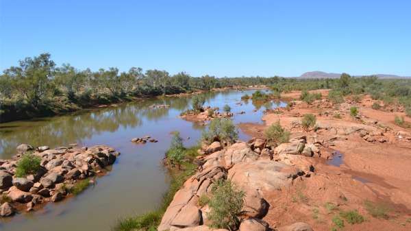
CSIRO scientists have revealed how much water lies beneath the parched Pilbara landscape in a study to help safeguard the resource as mining and agriculture expands in the region and the climate changes.
The $3.5m Pilbara Water Resource Assessment project found the area's extreme heat evaporates up to 14 times more water than falls as rain—highlighting the region's dependence on groundwater.
The work also revealed 8-30mm of rainfall is required to make the rivers and streams flow, and that the region is getting hotter and drier in some areas and wetter in others.
CSIRO hydrologist and study leader Dr Don McFarlane says researchers now have a framework to study the impacts of mining and better manage local water use.
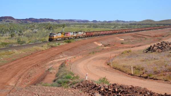
The mining industry abstracts about 550 giggalitres of water a year in the area and half of that is used for ore processing, dust suppression and consumption.
One giggalitre is the equivalent of Subiaco Oval filled to the brim. This figure is expected to double by 2042.
"Mine sites are often separate enough from each other not to interact...however current mining and new mines are increasingly below the water table requiring very large volumes to be extracted and there are several areas where multiple mines are interacting with each other," Dr McFarlane says.
The Pilbara is a land of extremes, suffering through some of the hottest temperatures in the country, while its unpredictable rainfall comes mostly from summer thunderstorms and cyclones.
"It [the study] puts streamflow and recharge volumes into relative perspective," he says.

"Nine aquifer types were identified and they interact in complex ways with each other and especially with streamflow."
In addition, the WA Government is investing $40 million to expand irrigated agriculture and enlarge the Pilbara's grazing industry.
The research, which was funded by industry and government, analysed climate data since 1910, the relationship between rainfall and runoff since 1961 and how that impacts groundwater levels over an area of 300,000km2—an area which is slightly larger than New Zealand.

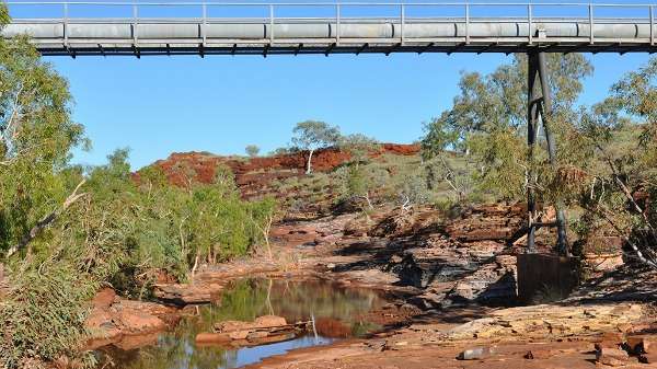
The researchers say streamflow leaks through riverbeds and is the main source of aquifer replenishment.
According to the three-year study, groundwater-dependent ecosystems expanded and contracted with the weather but the number has remained stable during the past 23 years.
Dr McFarlane says analysis of satellite remote sensing images could play a role in monitoring the future impacts of climate, grazing, fire, feral animals and mining on groundwater-dependent ecosystems and vegetation.
Provided by Science Network WA
This article first appeared on ScienceNetwork Western Australia a science news website based at Scitech.


