Satellite movie shows difficult eastern US Thanksgiving travel

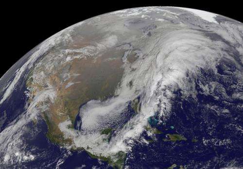
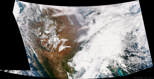
An animation of NOAA's GOES-East satellite imagery from Nov. 25 through 27 showed the complex storm system moving over the U.S. East Coast causing troublesome holiday travel.
Visible and infrared images taken from NOAA's satellites were animated by the NASA GOES Project at NASA's Goddard Space Flight Center in Greenbelt, Md., to create a 28-second movie. The movie shows the progression of a low pressure area that developed in the Gulf of Mexico and cold fronts that were sweeping from west to east.
The National Weather Service noted that a complex and powerful storm system continues to generate widespread moderate to heavy rainfall and snows in various parts of the eastern United States as travelers make their way to destinations to celebrate Thanksgiving and Hanukkah on Nov. 28. There are two low-pressure areas working together. One was centered near New Jersey while the other was located over the Carolinas.
From the Southeast to New England widespread moderate to heavy rainfall is expected. The rains will also affect the Mid-Atlantic and Southeastern United States, although those regions are not expected to get as much of a soaking.
The Appalachians and interior New England are expected to receive snowfall. Areas of heavy snow are forecast for northwestern Indiana and northwestern Pennsylvania on Nov. 27. Snows will blanket the north central United States from the Dakotas to Minnesota, Iowa, Wisconsin, Michigan, the Ohio and Tennessee Valleys, upstate New York and parts of northern New England.

The National Weather Service noted that cold air is moving in behind the storm and drop temperatures along the eastern U.S. making for a chilly Thanksgiving.
Provided by NASA


