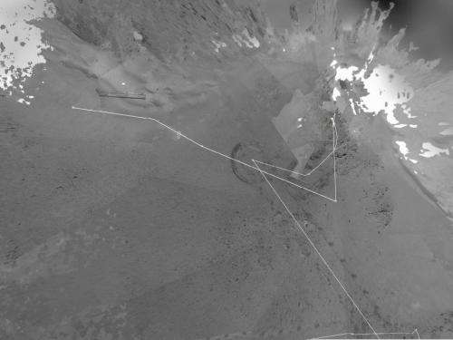
Opportunity's Traverse map from sol 2951

(Phys.org) -- After spending 19 weeks working in one place while solar power was too low for driving during the Martian winter, NASA's Mars Exploration Rover Opportunity is on the move again. The winter worksite was on the north slope of an outcrop called Greeley Haven. The rover used its rear hazard-avoidance camera after nearly completing the May 8 drive, capturing this view looking back at the Greeley Haven.
Since landing in the Meridiani region of Mars on Jan. 25, 2004, Universal Time and EST (Jan. 24, PST), Opportunity has driven 21.4 miles (34.4 kilometers).
This image is of Opportunity's traverse map from Sol 2951 and shows the entirety of the rover's travels to this point. A sol is a Martian day.
Provided by JPL/NASA


