Tagging and scanning for feral pigs

Innovative research using GPS tracking and thermal imagery is being used in an attempt to manage the destructive behaviour of feral pigs in the south-west.
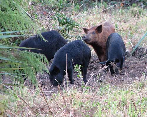
Feral pigs pose a threat to Australia's natural ecosystems, landscapes and biodiversity values, impacting on the environment and agricultural resources through predation, competition, habitat degradation and disease transmission.
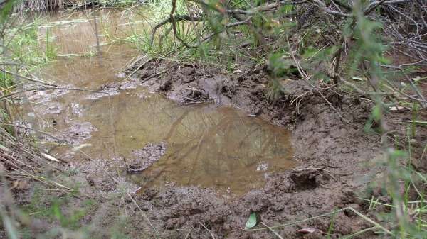
The most obvious impact of feral pigs is habitat degradation caused by their rooting behaviour.
They turn over the soil in search of food resources such as tubers, roots, rhizomes, fungal fruiting bodies and invertebrates.
Being omnivores, feral pigs also eat carrion and live prey, including ground-nesting bird chicks, reptiles, turtle eggs and even small mammals.
Recent research undertaken in conjunction by myself and the Department of Parks and Wildlife indicates that feral pigs are responsible for disturbing at least 13 million tonnes of soil in the northern jarrah forest each year.
This destroys habitat for wildlife and impacts on water quality in our precious water catchments. It also disrupts seedling recruitment, plant growth and accelerates erosion.
Our findings show that the majority of diggings by feral pigs last for 18 to 24 months with little or no recolonisation by native plants occurring over this time.
Feral pigs re-work less than seven per cent of previously disturbed soil, resulting in approximately 36km2 of previously undisturbed soil being dug over by feral pigs in the northern jarrah forest every year.

In order to stem their destructive behaviour I have been working with the Department of Parks and Wildlife, Department of Agriculture and Food WA, South West Catchments Council and the community to develop innovative methods to monitor feral pig populations.
While signs of their presence are obvious, feral pigs are extremely cryptic making them difficult to study.
It is often hard to know where they are, or how many are present. This makes it difficult to allocate adequate resources to control their numbers and manage their impact.
Our research team is using thermal sensors mounted in aircraft to detect feral pigs beneath the forest canopy.
Due to their large body size and relatively sparse hair covering, feral pigs are typically much hotter than their environment and therefore can be differentiated from other species, such as kangaroos, wallabies, and livestock.

The research method involves fitting GPS tracking collars to free-ranging feral pigs to track their movement patterns across the landscape.
Using aerial surveillance the pigs' location can then be tracked using thermal sensors.
In the future, it is hoped that this innovative research will provide us with the ability to implement broad scale monitoring of feral pig populations, mapping distribution and density (spatial 'hot spots') across the landscape.
This work will inform control programs and improve the management of feral pig impacts throughout Australia.
Provided by Science Network WA


