Eye in the sky aids stocking rates

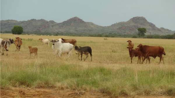
Satellite imagery of rangelands properties can help pastoralists determine pasture growth and plan appropriate stocking levels, according to research at Liveringa Station in the Kimberley.
The research sought to determine how accurately satellite-derived information can estimate pasture growth, known as 'above-ground biomass'.
Station owners usually rely on helicopter surveys to determine the amount and quality of pasture for stocking—a process which is expensive, time consuming and less accurate.
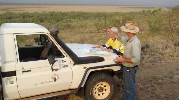
In contrast, Curtin University PhD student Charity Mundava examined satellite imagery and conducted on-ground sampling at 19 sites at eight times over two years on the vast Liveringa property (approximately 263,000ha) which is about 120km from Derby.
In each year Ms Mundava collected data just before the start of the wet season, then twice during the wet season and again just after the start of the dry season.
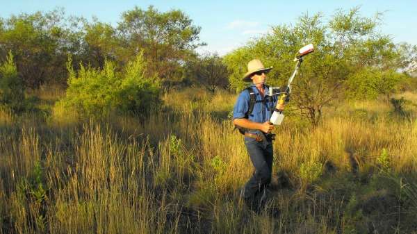
She recorded pasture height using a disk plate meter, visual observations, grass samples and the Holland Scientific Crop Circle ACS210 sensor, which can detect red and infrared lighting to determine the level of green versus dead plant material.
To make robust data analysis, Ms Mundava grouped the 19 sites into three areas based on their site and species composition, with the help of a rangeland expert from the Department of Agriculture and Food WA in Derby.

While seasons and sites vary significantly, Ms Mundava says the resulting information proved that satellite imagery is extremely useful to stock owners seeking to determine pasture growth and appropriate stock rates.
She says the information can be fed into plant growth modelling programs in which variables such as weather and soil type can be manipulated to reveal likely outcomes.
"We conducted a workshop for property owners and they were quite interested in knowing how the technology works," Ms Mundava says.

"[To use such technology] they'd need to obtain field samples from their properties and recalibrate this information to feed into pasture growth models."
Ms Mundava says Landgate is investigating how such modelling output can be disseminated to farmers through an application called 'Rangewatch' to help them accurately plan stocking rates.
More information: "A novel protocol for assessment of aboveground biomass in rangeland environments." Rangeland Journal 37(2) 157-167 dx.doi.org/10.1071/RJ14072
Provided by Science Network WA


