Study points to the challenges of harvest-time weed seed controls in Pacific Northwest
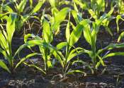
Herbicide-resistant weeds have fueled a growing demand for effective, nonchemical weed controls. Among the techniques used are chaff carts, impact mills and other harvest-time practices that remove or destroy weed seeds instead ...