This article has been reviewed according to Science X's editorial process and policies. Editors have highlighted the following attributes while ensuring the content's credibility:
fact-checked
proofread
Study uncovers the dynamics of extreme climate events in Guangdong using satellite data

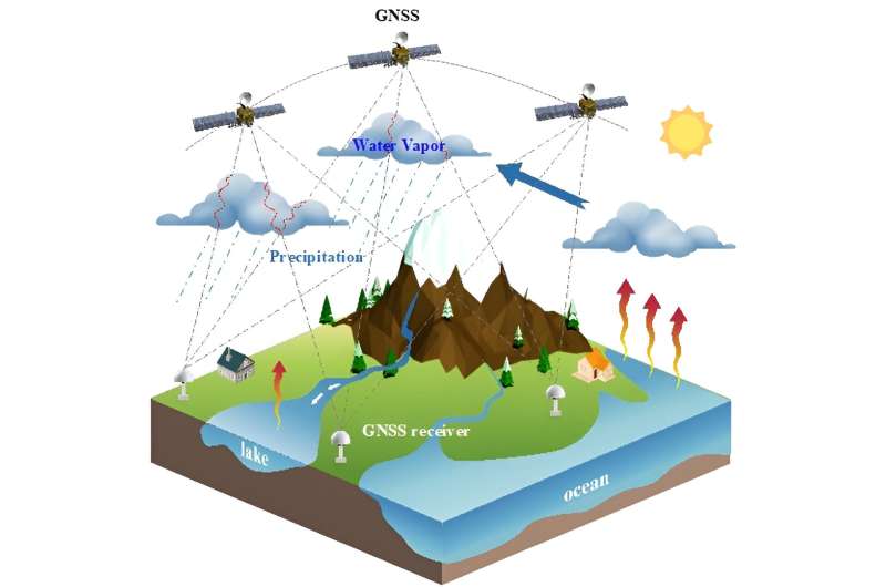
A study published in the journal Satellite Navigation, researchers from Southern University of Science and Technology harnessed high-resolution data from an extensive network of GNSS stations focusing on Guangdong province, a region highly susceptible to climate variability.
This data was meticulously analyzed to characterize the region's extreme drought and wetness events over time. The study revealed a clear seasonal pattern in precipitation efficiency, with fluctuations between 10 to 25% annually. It also identified a higher frequency of extreme events in the Pearl River Delta Plain, correlating these patterns with broader climatic trends.
Dr. K. Chen, the study's lead researcher, states, "Our work is a significant leap in understanding the complexities of climate events in Guangdong. The integration of GNSS data with precipitation metrics has allowed us to dissect the nuanced behaviors of drought and wetness, providing a template for future climatic studies and disaster preparedness strategies."
This study is a critical advancement in climate research, particularly for regions like Guangdong, where climate extremes have profound impacts on agriculture, ecosystems, and urban planning.
The methodology developed in this research not only enhances our understanding of climate dynamics but also paves the way for more effective disaster management and mitigation strategies. It demonstrates the immense potential of satellite technology in climate studies, potentially reshaping our approach to environmental monitoring and policy-making globally.
More information: Hai Zhu et al, Characterizing extreme drought and wetness in Guangdong, China using global navigation satellite system and precipitation data, Satellite Navigation (2024). DOI: 10.1186/s43020-023-00121-6
Provided by TranSpread


