This article has been reviewed according to Science X's editorial process and policies. Editors have highlighted the following attributes while ensuring the content's credibility:
fact-checked
proofread
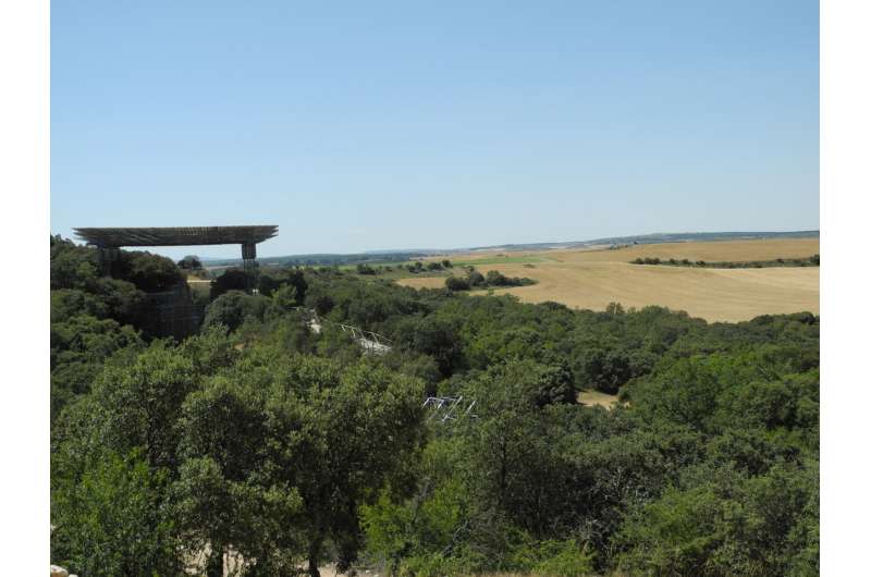
Researchers study the depths of the Sierra de Atapuerca

Josep M. Parés, coordinator of the Geochronology and Geology Program at the Centro Nacional de Investigación sobre la Evolución Humana (CENIEH), is the co-leader of a geological study published in the journal Marine and Petroleum Geology. The research explores the subsurface of the zone between the Sierra de La Demanda and the Sierra de Ubierna and, more specifically, around the Sierra de Atapuerca, where the fold outcropping on the surface has its roots over 1,000 meters below.
The materials, which are basically the limestones visible right along the Sierra de Atapuerca, could be considered to be the "tip of the iceberg" of a large subsurface structure more than 5km wide, which developed thanks to the presence of soft materials: Triassic lutites and evaporites which have allowed the strata to move.
"Fundamentally, these are Triassic evaporites, namely gypsums and salts, which can even be seen at the surface at the well-known Poza de la Sal diapir in the northwest of the province of Burgos, and have been exploited for years," comments Parés, who conducted the study with the collaboration of two geologists possessing extensive experience in the world of the petroleum industry.
Anticline
A series of seismic profiles compiled in the 1970s and 1980s around the so-called Burgalesa Platform were analyzed for the study, with the aim of shedding light on the geological connection between the Sierra de La Demanda and the Basque Cantabrian Basin. These seismic profiles have enabled unraveling the subsurface geology of the zone, and were the basis for obtaining an image of the deep structure of the Sierra de Atapuerca.
Traditionally, this structure has been described as an anticline, that is, a structure or arrangement of strata folded convex up, just as it appears on the 1990 geological map by the Instituto Geológico y Minero de España (IGME).
Paleozoic basement
How that structure runs under the surface was not known until now. The results of the geological work show that the anticline arrangement is observed beyond a depth of 1,000m, where the Mesozoic strata (66–250 million years) which include the Cretaceous limestones of the Atapuerca cave system, rest upon what is known as a Paleozoic basement: this is "rigid" and crystalline.
It can also be inferred from the study that the layout and folding of the Mesozoic strata was made possible by the existence of certain materials which act like "lubricants," or detachment levels, that allow the strata to slide over the rigid basement. In the case of the Duero Basin, that detachment level is made up of the materials from the Triassic period (201–250 million years old), which are mechanically weak and allow the overlying strata to move and fold.
More information: Pedro Cámara et al, Connecting the Iberian Range with the Basque-Cantabrian Basin: The structure of the Sierra de Atapuerca (Spain), Marine and Petroleum Geology (2023). DOI: 10.1016/j.marpetgeo.2023.106417
Provided by CENIEH


