A battle for the jet stream is raging above our heads

When prolonged periods of severe weather strike, two things often get the blame these days: climate change and the jet stream. Many have expressed concerns that the rapidly melting Arctic is now disturbing the jet stream, bringing more frequent bouts of wild weather. But potentially even more powerful changes are afoot in the tropics—and the consequences could be severe.
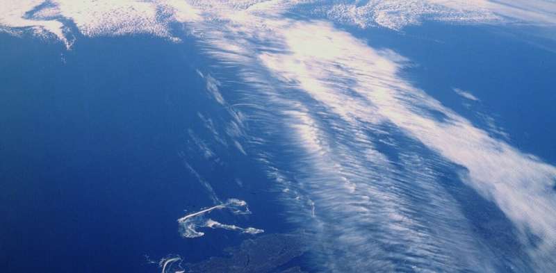
The northern hemisphere's jet stream is a current of fast-moving air encircling the globe from west to east in the middle latitudes—the zone between the baking tropics and the freezing Arctic. The strongest winds are about ten kilometers high, near the altitudes at which planes fly, but the bottom of the jet can reach all the way down to the ground, forming the prevailing westerly winds familiar to many. The southern hemisphere's counterpart is what gives rise to the Roaring Forties – similarly treacherous winds between latitudes 40° and 50°.
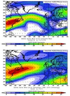
The jet forms a relatively sharp dividing line between the warm tropical and cold polar air masses. The strongest winds are concentrated in a band several hundred kilometers wide. But this band is not fixed. It meanders and snakes its way around the globe, sometimes touching the edge of the tropics and at other times scraping the polar regions
As a result, the jet can have a wide array of impacts across the hemisphere. If it passes over your location, expect to be repeatedly bombarded by the whirling storms that are carried along by it. As a recent example, the severe flooding in the North of England in November 2019 arose in part from a shift of the jet, which put the UK right in the middle of a region where storms tend to grow.
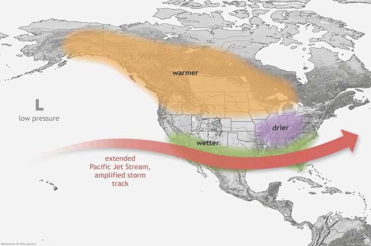
If the jet shifts to pass north of you, you'll find yourself under the warm, dry zone of the atmosphere which lies south of the jet. This brings generally settled and pleasant weather in summer, but can set the scene for droughts and heatwaves. And if the jet moves south instead, you'll be on its cold polar side, so you'd better hope this doesn't happen too much during winter.
Weather worries
The jet has always varied—and has always affected our weather patterns. But now climate change is affecting our weather too. As I explore in my latest book, it's when the wanderings of the jet and the hand of climate change add up that we get record-breaking heatwaves, floods and droughts—but not freezes.
The coldest weeks of any given winter will occur when the jet brings masses of cold air directly from the polar regions. But severe though this may feel, records show that similar events in past decades were even colder than they are now. While the jet is largely doing the same as it always has, the planet-heating greenhouse gases we've added to our atmosphere mean that invasions of polar air these days are just that bit milder.
The flip side, of course, is that when the jet moves north in summer, bringing warm air from the south, we often have to endure temperatures beyond anything in living memory.
It is clear and well understood how climate change and the jet can combine like this to cause truly extreme weather events. But whether climate change is directly changing the jet's behavior is a much harder question to answer.

Some have suggested that the rapidly warming Arctic is weakening the jet, by reducing the temperature contrast between the tropical and polar air to either side of it. As a result, the jet meanders more to the north and south, and these meanders can remain fixed over one location for longer—as happened when the "Beast from the East" placed much of Northern Europe under a bitter chill.
There are certainly some interesting ideas here, but many still do not find the logic compelling, and more convincing evidence from observations and computer models will be needed for these theories to become widely accepted.
Scientists are however increasingly confident that important changes are afoot in the tropics. Driven by the vast quantities of energy pouring in from the Sun directly overhead, these are the great powerhouses of Earth's climate. Indeed, the power of the tropics is evident in the worldwide weather disruption caused by El Niño events—subtle increases or decreases in temperatures in the equatorial Pacific Ocean, that in turn disturb the jet stream.
Over the past few years, it has become apparent that at high altitudes, the Earth's tropical regions are heating up more quickly than the rest of the world. At least partly because of this, the tropical regions of the atmosphere have been widening, expanding ever so slightly away from the equator, and impinging more on the jet stream.

Tug of war
We are in the early days of a great battle in the air above our heads between the Arctic and the tropics, for the future of the jet stream. At best, there might be a stalemate, leaving the jet stream distorted but otherwise unmoved.
However, if one of the competitors outweighs the other, regional climate patterns could be severely altered as the climate zones shift along with the jet. It's too early to say with any confidence which of these will win out, but many computer models predict the jet will shift a little towards the pole, consistent with a greater influence of the tropics.
In this case, we should expect to see the warm, dry regions at the edge of the tropics extend a little further out from the equator. The strongest impacts of this would likely be felt in regions such as the Mediterranean, which are already highly sensitive to fluctuations in rainfall. A northward jet shift would act to steer much needed rainstorms towards central Europe instead, leaving the Mediterranean at greater risk of drought.
So, the jet may not become more erratic as the Arctic warms, but it may well change profoundly. And one thing is clear: the stress of increased temperatures and altered rainfall patterns from our destabilizing climate will leave us even more vulnerable to the weather patterns brought by the whim of the wandering jet stream.
Provided by The Conversation
This article is republished from The Conversation under a Creative Commons license. Read the original article.![]()


