This article has been reviewed according to Science X's editorial process and policies. Editors have highlighted the following attributes while ensuring the content's credibility:
fact-checked
trusted source
proofread
Forest landslides' frequency, size influenced more by road building, logging than heavy rain

A long-term Pacific Northwest study of landslides, clear-cutting timber and building roads shows that a forest's management history has a greater impact on how often landslides occur and how severe they are compared to how much water is coursing through a watershed.
Findings of the research, led by associate forest engineering associate professor Catalina Segura and graduate student Arianna Goodman of the Oregon State University College of Forestry, were published in the journal Earth Surface Processes and Landforms.
Probing the factors behind landside frequency and magnitude is crucial because slides occur in all 50 states, causing an average of more than 25 deaths per year, according to the United States Geological Survey. The USGS puts the total annual average economic damage resulting from landslides at greater than $1 billion.
"Understanding the long-term effects of forest practices like logging and road building is critical to sustainable forest management," Segura said. "This requires observations on time scales that capture responses to past and ongoing management practices—looking at the timing of floods, landscape susceptibility to landsliding and the delivery and movement of wood."
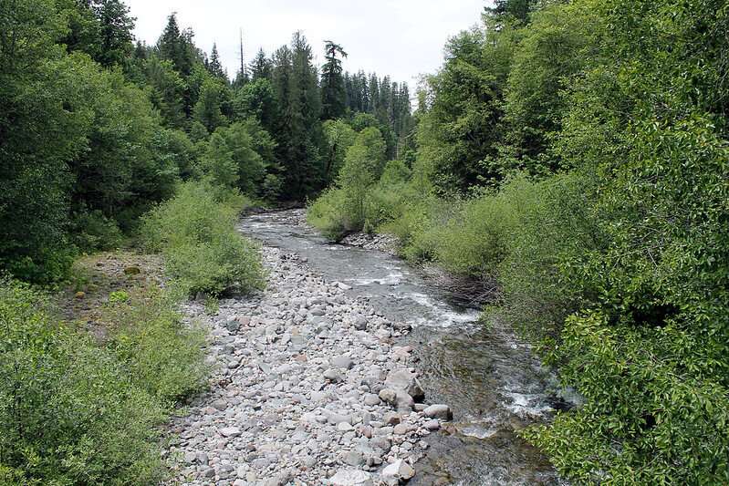
Focusing on the Lookout Creek watershed in western Oregon, a research team that included Julia Jones of the OSU College of Earth, Ocean, and Atmospheric Sciences and Frederick Swanson of the U.S. Forest Service examined a decades-long history of old-growth clear-cutting and associated road construction and how those practices affected flooding, landslides, big pieces of wood jamming up waterways, and channel change.
Debris flows contribute huge quantities of sediment and large wood to streams, Segura said. Those inputs control, for decades, a channel's response to large flows—the amount of erosion and deposition that takes place. Regulating the inputs are an area's history of forest practices, the natural vulnerability of a watershed to erosion and the frequency of big flood events.
The 64-square-kilometer Lookout Creek watershed is part of the H.J. Andrews Experimental Forest, a long-term research site in the Cascade Range funded by the National Science Foundation and the Forest Service. Logging and road building began in the Lookout Creek area in 1950 and largely ceased by the 1980s, enabling the scientists to track forest management practices' impact on slides and floods during and after the period of active management.
Researchers studied five time periods: 1950 to November 1964 (initial logging and road building; December 1964 to January 1965 (first major flood); February 1965 to 1995 (between-floods period); 1996 (second major flood); and 1997 to 2020 (post-flood period).
The scientists note that three zones of distinct and contrasting geologic history comprise the Lookout Creek watershed: one zone with relatively smooth terrain and U-shaped valleys; another characterized by irregular topography, rough surfaces and moderate steepness; and a third featuring V-shaped valleys, steep slopes and narrow drainages.
"In each of the five time periods, the frequency of landslides and debris flows depended on the conditions created by management practices during prior time periods," Segura said. "Watershed responses did differ somewhat among the zones, as would be expected—places that were once glaciated and have broad valleys are less vulnerable to landslides and debris flows than steep terrain with weak, erodible rock."
Even small floods caused landslides and stream channel changes during the first 15 years of road construction and logging, and amid ongoing logging in the early part of the time period between large flood events, she said.
"Big flooding in 1964-65, when harvesting was taking place, produced much larger geomorphic responses than the large flood of 1996, more than a decade after logging stopped," Segura said.
Landscape effects were negligible in 2011 for the third largest flood event on record, the researchers found; by that time clear-cut areas of the forest had been replanted and the new trees were 20 to 70 years old.
More information: Arianna C. Goodman et al, Seventy years of watershed response to floods and changing forestry practices in western Oregon, USA, Earth Surface Processes and Landforms (2022). DOI: 10.1002/esp.5537
Provided by Oregon State University


