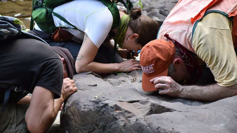
Pete Ryan of Middlebury College, Julia Boyles of the Vermont Geological Survey, and Klepeis get a close-up view of a rock exposure in Clarendon Gorge. Credit: Jonathan Kim, Vermont Geological Survey
Keith Klepeis, Ph.D., professor of geology in the University of Vermont's Department of Geography and Geosciences, recently partnered with colleagues from the Vermont Geological Survey (part of the Department of Conservation), the State University of New York (SUNY) Plattsburgh, and Middlebury College to lead 30 hydrogeologists to see a PFAS groundwater-contamination site beneath Rutland Airport.
The trip was part of the National Groundwater Association Conference hosted in Burlington in September. "Vermont, like all states, is facing a major PFAS groundwater-contamination crisis," Klepeis says, "and we got the chance to highlight what we are doing about it."
PFAS stands for per- and polyfluoroalkyl substances, which are synthetic chemicals that are widely used and break down very slowly over time. PFAS chemicals are used in many kinds of consumer products, and exposure to them has been associated with adverse health effects such as increased risk of some cancers, thyroid disorders, and high cholesterol. Many PFAS, which can linger in the human body, are present at low levels in the environment, including drinking water, all over the world.
Through the UVM-Vermont Geological Survey partnership (which also includes Middlebury College, SUNY Plattsburgh, the Vermont Department of Environmental Conservation, the Vermont Department of Health, and the Vermont Department of Transportation), Klepeis and his colleagues are working up a model of the contaminated Rutland bedrock aquifer that shows how the chemicals move in the subsurface.
According to Klepeis, a large percentage of Vermonters get their drinking water from bedrock aquifers such as the one below Rutland. "We can use what we learn from this study to mitigate future PFAS outbreaks in the state," he says.
Credit: University of Vermont
During 2020 and 2021, Klepeis and the other researchers led numerous field trips with students to Rutland's Regional Airport and the nearby Clarendon Gorge to collect geologic data. "Even though we know the PFAS contamination problem is sourced at the airport and there are no exposures of bedrock at the surface to look at," Klepeis says, "we can see the bedrock that hosts the subsurface aquifer in the gorge, which borders the airport on its southern edge. This gorge provides a profile of what the subsurface aquifer of the airport looks like and we can use that to figure out what is happening."
Klepeis says that one of the key points they learned through this research is that it is not enough to study just the groundwater itself. To get the full picture of how the chemicals move through the subsurface and create an accurate model, "you have to study everything the groundwater interacts with as well, including bedrock layers, soil, fracture networks, topography, surface water, etc.," he says.
The other key point they learned is that this range of research requires a diverse team of experts. The researchers in the partnership cover all these areas and use every tool available, including drone surveys, data analysis, and measurement of geological features. Klepeis adds, "Each tool and area of expertise reveals an important aspect of the problem that we integrate into a model."
The researchers wrote a paper describing the initial analysis of the contaminated bedrock aquifer, which they presented at the conference in September. They also have led many field trips for professionals and non-specialists to the site.
Klepeis and the other researchers are hoping to use what they learned in Rutland to help them understand other contamination sites next year. "This problem isn't going away," Klepeis says, "so we have to learn how to track contaminated plumes in the subsurface and figure out how fast they migrate and in what directions to help us develop mitigation strategies. We can't prevent PFAS contamination with our models—only governments can do that—but we can understand what happens to it, where it goes in the subsurface, and how we can minimize the damage and help keep towns and homeowners as safe as possible."
Provided by University of Vermont


