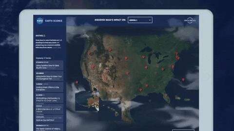
'Space for US' lets viewers can explore how NASA data is put to work here on Earth. Credit: NASA
For six decades, NASA has used the vantage point of space to better understand our home planet and improve lives. A new interactive website called Space for U.S. highlights some of the many ways that NASA's Earth observations help people strengthen communities across the United States and make informed decisions about public health, disaster response and recovery, and environmental protection.
"Space for U.S." features 56 stories illustrating how NASA science has made an impact in every state in the nation as well as the District of Columbia, Puerto Rico and regions along the Atlantic, Pacific, Gulf of Mexico and the Great Lakes. You can browse stories by state or by topics such as animals, disasters, energy, health, land and water.
"It's exciting and impressive how people are putting NASA data to work across the country," said Lawrence Friedl, director of the Applied Sciences Program in the Earth Science Division, Washington. Projects range from guiding pilots around hazardous volcanic ash plumes over Alaska, to first responders in North Carolina planning for recovery efforts after devastating hurricanes to conservationists in Hawaii improving the health of coral reefs.
NASA freely and openly provides its Earth-observing data to those seeking answers to important global issues such as changing freshwater availability, food security and human health. The Applied Sciences program funds projects that enable innovative uses of NASA Earth science data, resulting in informed decision making to strengthen America's economy and improve the quality of life worldwide.
To view "Space for U.S.": www.nasa.gov/spaceforus
Provided by NASA's Goddard Space Flight Center


