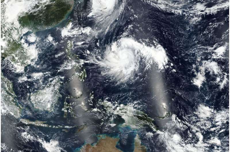
Satellites captured this worldview image of Typhoon Kong-rey on Sept. 30, 2018. Credit: NASA Worldview, Earth Observing System Data and Information System (EOSDIS).
At 11 am EDT (1500 UTC) on Oct 1 , Kong-rey was located near 16.8 north and 134.4 east, about 488 miles north-northwest of Yap. It was moving to the northwest and had maximum sustained winds near 125 knots gusting to 150 knots. Currently the only threatened landmasses are the Ryuku Islands.
This satellite image was taken on September 30, 2018 by NASA's Earth Observing System Data and Information System (EOSDIS) Worldview application which provides the capability to interactively browse over 700 global, full-resolution satellite imagery layers and then download the underlying data. Many of the available imagery layers are updated within three hours of observation, essentially showing the entire Earth as it looks "right now. "
Kong-rey will move northwest, intensifying steadily. The storm will peak at 135 knots later today, after which it will steadily weaken. The system will gradually veer north, into the Yellow Sea after three days.
Provided by NASA's Goddard Space Flight Center


