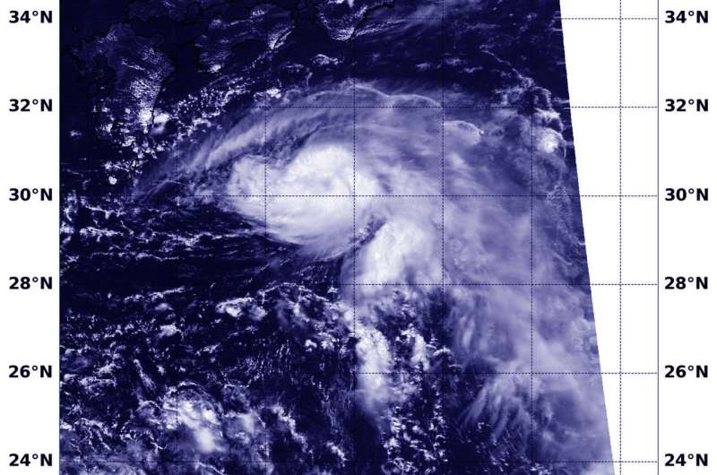
On August 14 at 12:42 a.m. EDT (0442 UTC) the VIIRS instrument aboard NASA-NOAA's Suomi NPP satellite captured a visible image of Tropical Storm Leepi. Credit: NOAA/NASA/NRL
Tropical Storm Leepi continued its northwestern track through the northwestern Pacific Ocean as NASA-NOAA's Suomi NPP satellite passed overhead and captured a visible image of the storm. Leepi was moving toward Kyushu, southern Japan.
On August 14 at 12:42 a.m. EDT (0442 UTC) the Visible Infrared Imaging Radiometer Suite (VIIRS) instrument aboard NASA-NOAA's Suomi NPP satellite captured visible image of Leepi. The VIIRS image showed a small tropical cyclone with powerful thunderstorms surrounding the center of circulation and tightly curved bands of thunderstorms wrapping around the storm.
On August 14 at 11 a.m. EDT (1500 UTC), the Joint Typhoon Warning Center or JTWC noted that Tropical Storm Leepi was located near 31.4 degrees north latitude and 133.5 degrees east longitude, about 188 nautical miles south-southeast of Iwakuni, Japan. Leepi had maintained maximum sustained winds near 55 knots (63.2 mph/102 kph) but is on weakening trend.
The JTWC's forecast track has shifted to continue the northwest track until dissipation on Aug. 16 over Korea.
Provided by NASA's Goddard Space Flight Center


