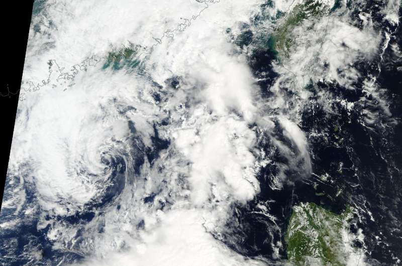
NASA sees Tropical Depression Aere dissipating

NASA's Terra satellite passed over Tropical Depression Aere as it was dissipating in the South China Sea.
The Moderate Resolution Imaging Spectroradiometer or MODIS instrument that flies aboard NASA's Terra satellite passed over the South China Sea early on Oct. 11 and captured an image of the remnant low pressure area of former Tropical Cyclone Aere. The image showed a swirl of clouds about 200 miles to the east of Hong Kong.
The Joint Typhoon Warning Center issued their final bulletin on the storm on Oct. 10 at 5 a.m. EDT (0900 UTC). At that time Aere was centered near 21.7 degrees north latitude and 117.7 east longitude. That was about 198 nautical miles east of Hong Kong.
Tropical depression Aere's maximum sustained winds dropped to 28.7 mph (25 knots/46.3 kph) and it was moving slowly to the west at 2 knots (2.3 mph/3.7 kph).
Aere's center of circulation has stayed in the same vicinity as the storm continues to dissipate.
Provided by NASA's Goddard Space Flight Center


