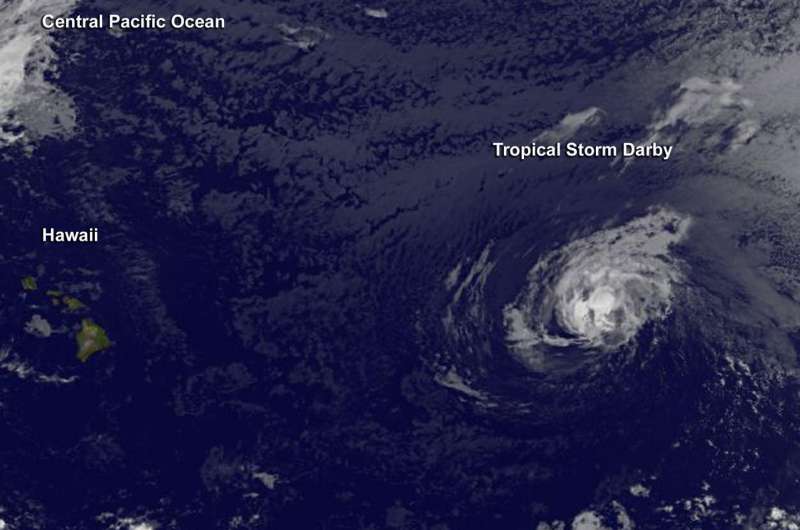
Hurricane Darby weakens on approach to Central Pacific Ocean

Hurricane Darby weakened to a tropical storm as it approached the Central Pacific Ocean on July 20. NOAA's GOES-West satellite captured an infrared image of the storm.
Once a tropical cyclone crosses the 140 degree west longitude line headed west, it enters the Central Pacific Ocean region and the forecasts are generated by NOAA's Central Pacific Hurricane Center (CPHC). Darby is expected to move into the Central Pacific later on July 20.
An image from NOAA's GOES-West at 1500 UTC (11 a.m. EDT) showed the center of Tropical Storm Darby near latitude 19.9 North and longitude 139.8 West. Darby is about 1,000 miles east of Hilo, Hawaii. Darby was moving toward the west near 12 mph (19 kph) and this general motion is expected to continue for the next 48 hours. Maximum sustained winds have decreased to near 60 mph (95 kph) and little change in strength is forecast during the next 48 hours.
For later updates on Darby, visit the CPHC website: http://www.prh.noaa.gov/cphc/
Provided by NASA's Goddard Space Flight Center


