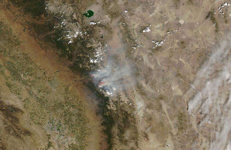
NASA image: Rough fire in Southern California

Wildfires in the western states have been continuous this summer season. This natural-color satellite image, collected by the Moderate Resolution Imaging Spectroradiometer (MODIS) aboard the Aqua satellite on August 30, 2015, is of the Rough Fire just west of Kings Canyon National Park and north of the town of Hume. Actively burning areas, detected by MODIS's thermal bands, are outlined in red.
The Rough Fire is currently 72,300 acres and is currently 25% contained. Two thousand thirty three personnel are currently assigned to fight the Rough Fire. Heavy concentrations of smoke are expected near the fire today. Smoke is expected to again settle into the Kings River Valley, and low lying areas near the fire such as Hume Lake and Cedar Grove this evening. Unhealthy to Very Unhealthy conditions are expected to residents in the area from the smoke coming off the fire.
Exposure to high levels of smoke should be avoided. Individuals are advised to limit their physical exertion if exposure to high levels of smoke cannot be avoided. Individuals with cardiovascular or respiratory conditions (e.g., asthma), fetuses, infants, young children, and the elderly may be more vulnerable to the health effects of smoke exposure.
Provided by NASA


