Aqua satellite observes Supertyphoon Nangka

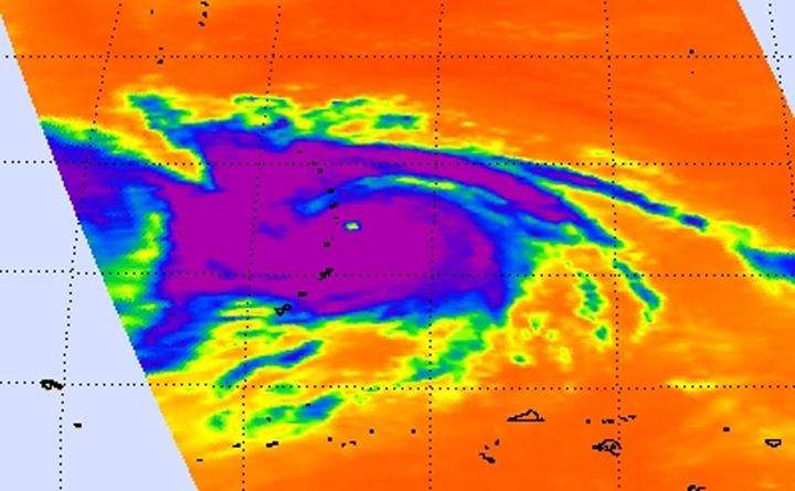
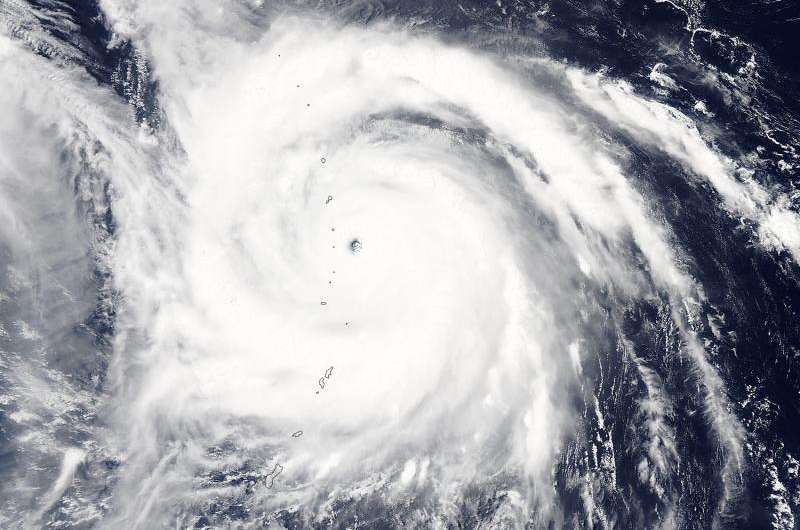
NASA's Aqua satellite passed over Supertyphoon Nangka on July 9 and provided a visible and an infrared view of the large storm.
At 0700 UTC (3 a.m. EDT) on July 9 a typhoon warning was in effect for Agrihan, Pagan and Alamagan in the northern Marianas. A tropical storm warning is in effect for Saipan and Tinian. Nangka passed over Alamagan.
The Atmospheric Infrared Sounder or AIRS instrument aboard NASA's Aqua satellite gathered infrared temperature data on Nangka on July 9 at 03:23 UTC (July 8 at 11:23 a.m. EDT). At the same time, the MODIS instrument took a visible picture of the storm. The infrared data showed a large storm with powerful thunderstorms circling the 8 nautical-mile-wide (9.2 mile/14.8 km) eye of the storm. The coldest cloud top temperatures were near -81 Fahrenheit or -63 Celsius. Cloud top temperatures that cold are high into the troposphere and capable of generating heavy rain.
At 1500 UTC (11 a.m. EDT) on July 9, Typhoon Nangka's maximum sustained winds were near 135 knots (155.4 mph/250 kph). Nangka is a Category 4 typhoon on the Saffir-Simpson Wind Scale. Tropical storm-force winds extend out 145 nautical miles (166.9 miles/268.5 km) from the center making the storm about 300 nautical miles in diameter. Typhoon-force winds are somewhat compact, extending out 20 nautical miles (23 miles/37 km) from the center.
Nangka was centered near 18.1 North latitude and 144.1 East longitude, about 182 nautical miles north-northwest of Saipan. Nangka was moving to the west-northwest at 13 knots (14.9 mph/24.8 kph). Nangka was generating very rough seas, with wave heights to 43 feet (13.1 meters).
The Joint Typhoon Warning Center noted that the storm will continue to move west-northwest and begin to weaken starting July 10, and veer north-northwest.

Provided by NASA's Goddard Space Flight Center


