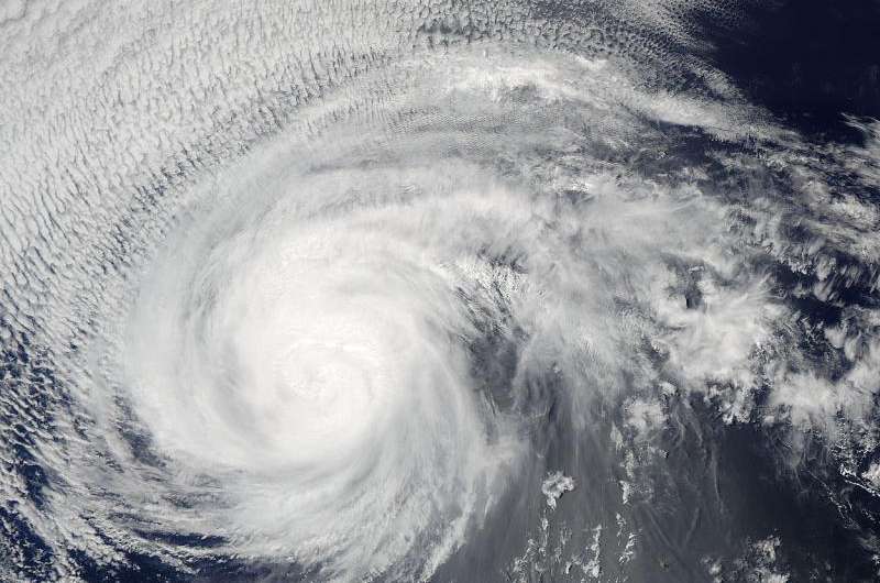
Satellite movie shows Andres weaken to a tropical storm

A NASA-generated animation of NOAA's GOES-West satellite imagery from June 1 to 3 showed Hurricane Andres' eye disappear as the storm weakened into a tropical storm.
NOAA's GOES-West satellite has provided continuous visible and infrared imagery of the former hurricane since it was born. An animation created by the NASA/NOAA GOES Project at NASA's Goddard Space Flight Center in Greenbelt, Maryland captured the storm as it made the transition from a hurricane, back into a tropical storm. Andres is located in the Eastern Pacific Ocean, south of Baja California, Mexico.
The GOES-West animation showed that on June 3, the coverage and intensity of convection (rising air that forms thunderstorms that make up a tropical cyclone) associated with Andres continues to decrease as the cyclone moves over cooler waters.
At 11 a.m. EDT (1500 UTC) the center of Tropical Storm Andres was located near latitude 19.6 North, longitude 125.3 West. That's about 1,015 miles (1,635 km) west of the southern tip of Baja California, Mexico. Andres is moving toward the northwest near 8 mph (13 kph). According to the National Hurricane Center, "the system's forward motion should slow down by Thursday morning and Andres should begin to meander Friday, June 5." Maximum sustained winds are near 60 mph (95 kph) with higher gusts and some weakening is forecast during the next 48 hours. The estimated minimum central pressure is 996 millibars (29.42 inches)
Swells generated by Andres are affecting portions of the west coast of the Baja California peninsula. These swells are likely to cause life-threatening surf and rip current conditions.
NHC's Hurricane Forecaster Dan Brown noted in the 5 a.m. EDT discussion on June 3, "Increasing vertical wind shear, decreasing sea surface temperatures along the forecast track, and a drier and more stable air mass should cause steady weakening during the next couple of days. Andres is expected to weaken to a tropical depression in about 36 hours, and become a post-tropical remnant low by Friday, June 5."
Provided by NASA's Goddard Space Flight Center


