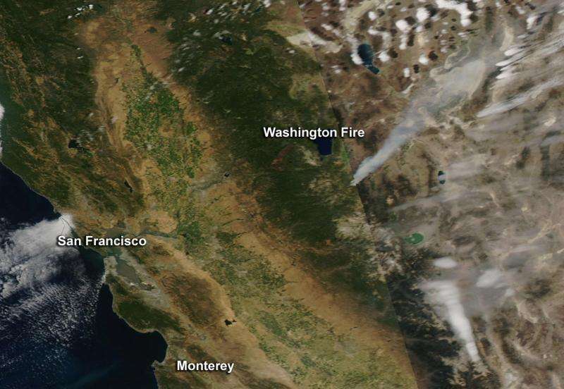
NASA image: Washington wildfire in California

NASA's Aqua satellite recently spotted smoke from the Washington Fire south of Carson City, Nevada. The Moderate Resolution Imaging Spectroradiometer (MODIS) instrument that flies aboard NASA's Aqua satellite captured an image of smoke and fires burning on June 21. The smoke appears to be a light brown color.
According to Inciweb, the Washington Fire began from a lightning strike near California Highways 4 and 89, about 8 to 10 miles south of Markleeville, California and about 45 miles south of Carson City, Nevada. By June 22, the fire grew to around 8,000 acres since initial firefighting efforts began on Saturday June 19. The extreme fire activity is primarily due to strong erratic winds and severe drought conditions.
InciWeb is an interagency all-risk incident information management system. The system was developed with two primary missions: Provide the public a single source of incident related information; and provide a standardized reporting tool for the Public Affairs community. For more information or the status of any U.S. wildfire, visit: http://inciweb.nwcg.gov/.
Provided by NASA's Goddard Space Flight Center


