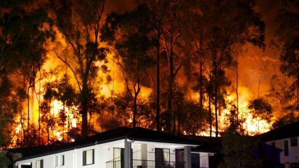
Big data keeping track of bushfires

More than 5000 bushfires occurred in WA between July 2013 and July 2014, making the development of the Aurora Bushfire Detection System a big deal for local communities.
Aurora is a national bushfire spread prediction system, which calculates bushfire direction and intensity before rapidly communicating the spread predictions via a website, email and the National Telephone Early Warning System (NTEWS).
Combining technology developed by the University of Western Australia with land information and geographical data from Landgate, the system is designed to simulate bushfires in order to collect more data to provide an accurate prediction when fires do occur.
Aurora collects the necessary data sets to track bushfires by accurately simulating a controlled blaze in real-time and factoring in other influential elements.
This action provides the subsequent data required to correlate the behaviours of fire under given conditions and the analysis of these big data sets provides the necessary information required to track bushfires across WA.
During the recent WA bushfires Landgate Manager for Satellite Remote Sensing Services Dr Matthew Adams says Aurora was requested by the Department of Fire and Emergency Services (DFES) to increase the capability to move from a regular two day cycle to run a five day forecast simulation.
Dr. Adams said DFES effectively applied Aurora's response to the ongoing fire through analysis of the collected data and provision of real-time predictions in order to aid fire service efforts.
"This information makes Aurora a usable tool to be able to determine the effect on the surrounding assets," Dr Adams says.
"We look at where those factors impact, where fire is likely to hit within the next 24 hours."
The system aids fire agencies by analysing key big data sets including digital elevation models, vegetation types, WA bushfire threat analysis data, time since last burn information, rate of spread models, fuel accumulation models, forecasted weather, drought factors and fire hotspots or ignitions.
According to Dr Adams, use of the Aurora System's results improve critical planning and response decisions made by DFES, and other firewatch agencies by providing analytical predictions that provide early warning for inhabited areas and insight into the necessary fire service resources that should be allocated.
Provided by Science Network WA


