(Phys.org)—Google has been branded and promoted to the point where two associated words-come to mind, "search" and "Maps." Over 800,000 developers worldwide use Google Maps APIs, according to the company, to create their own location-based applications based on Google Maps. Now Google is promoting its Maps technology benefits to a special audience, the enterprise. Google on October 17 officially rolled out two new APIs targeted at enterprise customers for building their own location-enabled applications. The standard reason offered for why businesses should respond is efficiency.
"Businesses have a lot of moving parts – sometimes quite literally," said Nabil Naghdy, Google Maps Product Manager. "Map-based information is useful for any business that relies on a fleet of vehicles, employees who travel, or other mobile resources. To help organizations build their own location-enabled applications, we're launching two new APIs." The new APIS are Maps Tracks and Maps Geolocation.
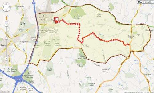
Maps Tracks API gives organizations the ability to introduce apps that can store, display and analyze GPS data on a map. The idea is for the business to track, analyze, and visualize asset movement. The business payback would lie in how the Maps Tracks API, for example, could provide a fleet management company with tools for analyzing data from past and present deliveries. By seeing routing information on a Google Map, they can determine which routes can save time and fuel.
The API is built on top of Google's cloud infrastructure and offers something called geo-fencing. With geo fencing, a company creates a virtual region on a map to notify a device when it enters or exits a predefined area. In the case of a fleet operation, notifications could be set that would automatically alert drivers if they were ten miles outside their delivery territory and needed to turn around. The notifications could reduce dependence on a central dispatcher.
The new Google Maps Geolocation API enables an application or device to determine its own location without the use of GPS. With a Geolocation API, a business could keep tabs on its vehicles without having to install expensive GPS units. It does this by looking up locations of nearby WiFi access points and cell towers. Google notes that a device can save battery life and work indoors or in remote areas by limiting GPS use. In dense city blocks where GPS dropout is not unusual, a dispatcher can still locate its fleet.
"The Google Maps Geolocation API returns a location and accuracy radius based on information about cell towers and WiFi nodes that the mobile client can detect," according to Google. "Communication is done over HTTPS using POST. Both request and response are formatted as JSON, and the content type of both is application/json."
More information: googleenterprise.blogspot.co.u … to-add-location.html
© 2012 Phys.org


