TU Delft researchers have discovered that the ocean surface loses practically all aerodynamic resistance during hurricanes with extremely high wind speeds. This occurs as a result of a very smooth layer lying over the waves: a blanket of foam, spray and bubbles. A significant effect of the discovery is that global hurricane, wave and storm surge models will need to be revised.
White capping
Waves breaking at the ocean surface are important for all sorts of processes at the air-sea interface. This also applies to research on hurricanes. The traditional view in science has always been that the amount of white capping and aerodynamic resistance of the ocean surface continue to increase with wind speed up to a certain limiting value. This premise is also used in various models and is fundamental to forecasting hurricanes and storms. The premise, however, has never been experimentally tested at extreme wind speeds.
Streaks
TU Delft wave specialist Dr Leo Holthuijsen, together with colleagues from TU Delft (Prof. Julie Pietrzak) and the American research institute NOAA (Dr. Mark Powell), was able to carry out this test for the first time and came to a surprising conclusion. 'We have shown that at high wind speeds the number of white caps remain constant and at even higher wind speeds they are joined, and increasingly dominated, by streaks of foam, spray and bubbles. At wind speeds of 150 km/hour, the streaks merge to form a very smooth layer over the ocean surface, through which the aerodynamic resistance begins to decrease. At extreme wind speeds of around 300 km/hour, aerodynamic resistance virtually disappears.'

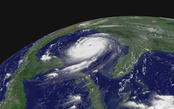
NOAA P-3 in the eye of Hurricane Caroline. Credit: NOAA Photo Library http://www.photolib.noaa.gov/htmls/fly00102.htm
Cross swell
The findings of Holthuijsen and his colleagues concerning the decrease of aerodynamic resistance of the ocean surface do not apply to the whole area of the hurricane. 'In certain large areas of the hurricane, resistance initially increases considerably, before decreasing again when wind speeds are even higher. This is caused by a phenomenon called cross swell.' These are waves that run crossways to the wind, generated in other parts of the hurricane.
Too dangerous
Holthuijsen came to his remarkable conclusions by analysing and combining existing data. This partly concerned old film footage from the period between 1966 and 1980, made by reconnaissance planes flying through hurricanes at a low altitude (150 m). 'This isn't possible any more, simply because it's too dangerous,' says Holthuijsen.
The researchers combined the old footage with wind data they collected in the period between 1998 and 2005. This data is from measurement instruments dropped from aircraft into a hurricane from above. The instruments are destroyed by the waves, but are able to pass on their data beforehand.

Examples of photos of the ocean surface used in this research.
Storm surge
'A significant effect of our results is that global hurricane, wave and storm surge models will need to be revised and adapted. It could also lead to new insights regarding the Dutch coast, such as the necessary strength of our coastline protection.'
The research of Holthuijsen and his colleagues was recently published in the Journal of Geophysical Research.
More information: Wind and waves in extreme hurricanes, Journal of Geophysical Research, Vol. 117, C09003, 15 pp., 2012, doi:10.1029/2012JC007983, Leo H. Holthuijsen, Mark D. Powell and Julie D. Pietrzak www.agu.org/pubs/crossref/2012/2012JC007983.shtml
Additional photos can be found here on Flickr: www.flickr.com/photos/tudelft/ … s/72157631525925528/
Journal information: Journal of Geophysical Research
Provided by Delft University of Technology


