Towards characterization of grass and crops from orbit

Estonian researchers and farmers start to investigate together with the German Aerospace Center novel methods for characterization of grass and crops from data acquired by the German radar satellite formation TanDEM-X.
TanDEM-X is an innovative radar satellite mission operated by the German Aerospace Center (DLR) since 2010. Two twin satellites, flying in close formation, acquire microwave data at X-band (wavelength: 3cm).
The main objective of TanDEM-X is to generate the most precise global elevation model available so far (12 x 12 m spatial resolution and 2–4 m vertical accuracy). However, for a special 'science acquisition phase' since October 2014, the satellites are separated to a wider distance (~2km) than normal to acquire for the first time at so called 'long baseline'. This novel acquisition scenario provides a unique opportunity for scientists to develop new applications and technologies for monitoring the environmental conditions on Earth.
Tartu researchers are among the few in the world, who will have access to these data and will investigate it thoroughly. With this data set, it is theoretically possible to measure the height of grass and crops to a precision of about 10 cm. One has to remember that this is done from space, approximately 700 km away. Whether it works in practice and which possible problems must be solved, will be investigated in the future.
Measuring the height of forests has already been proven in several scientific studies at DLR. Depending on the thickness and homogeneity of the forest, as well as the season, it is possible to measure the forest height within the accuracy of meters. Also the doctoral student of the University of Tartu, Aire Olesk, have worked on the application of measuring forest height. The first results of Olesk's research point in the direction that the height of forests can be more precisely measured in X-band during leaf-off season.
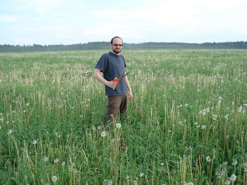
Simultaneously to the TanDEM-X acquisitions, field experiments on the Rannu agricultural test site will be carried out this summer. For the field survey the researchers cooperate with the Estonian University of Life Sciences and farmers of the Rannu area. Accurate field measurements will reveal soil and plant parameters, like wet and dry biomass, plant and soil moisture as well as the height of the vegetation layer.
In the future, information products from radar remote sensing relating to soil and vegetation will be an important component in precision farming applications, allowing farmers to get a better knowledge about the conditions of their fields and take better decisions on the basis of this additionally available information.
Tartu Observatory, the University of Tartu, Software Technology and Applications Competence Centre, Aalto University from Finland, DLR Microwaves and Radar Institute, Estonian University of Life Sciences and Estonian agricultural holdings 'OÜ Rannu Seeme and OÜ Rannu Mõis' contribute to the research efforts.
In addition, Tartu Observatory and Tartu University have cooperated with DLR Microwaves and Radar Institute since 2011 working mainly on grassland applications.
Moreover, Estonia will become 21st European Space Agency Member state during 2015 concentrating on Earth Observation science and applications development.
Provided by University of Tartu


