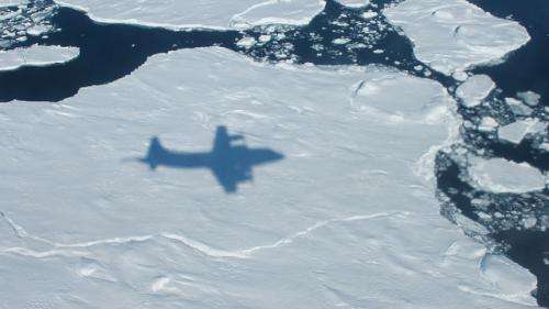
NASA's Operation IceBridge in search of ice change in Arctic

How much is the polar ice melting, and how are the sheets being affected by climate change? These are some of the questions that NASA's Operation IceBridge seeks to answer. You can see a quick overview of the mission in the video above.
"IceBridge, a six-year NASA mission, is the largest airborne survey of Earth's polar ice ever flown," NASA stated in the YouTube description accompanying the video.
"It will yield an unprecedented three-dimensional view of Arctic and Antarctic ice sheets, ice shelves and sea ice. These flights will provide a yearly, multi-instrument look at the behavior of the rapidly changing features of the Greenland and Antarctic ice," the agency added.
The aerial survey is intended to supplement information from NASA's Ice Cloud and Land Elevation Satellite (ICESat), which has been orbiting Earth since 2003, and the forthcoming ICESat-2 that is expected to launch in early 2016.
The surveys started in 2009 and are expected to wrap up in 2016. This year's field season runs from about March to May.
Provided by Universe Today


