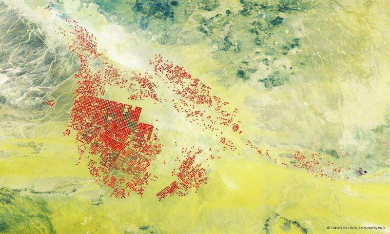
Image: Proba-V captures desert irrigation

ESA's Proba-V minisatellite gives a false-colour view of circular fields fed by underground water resource in the mist of the desert.
This 100 m-resolution image shows the Wadi As Sirhan basin of Saudi Arabia, with agricultural fields fed water by circular-pivot irrigation systems, amid the yellowish desert sands and surrounding low hills and rocks.
Launched on 7 May 2013, Proba-V is a miniaturised ESA satellite tasked with a full-scale mission: to map land cover and vegetation growth across the entire planet every two days.
Its main camera's continent-spanning 2250 km swath width collects light in the blue, red, near-infrared and mid-infrared wavebands at 300 m resolution and down to 100 m resolution in its central field of view.
VITO Remote Sensing in Belgium processes and then distributes Proba-V data to users worldwide. An online image gallery highlights some of the mission's most striking images so far, including views of storms, fires and deforestation.
Provided by European Space Agency


