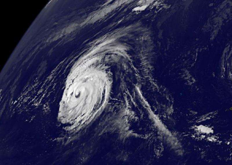
Typhoon Kilo moving through northwestern Pacific Ocean

NOAA's GOES-West satellite spotted the eye in a strong Typhoon Kilo moving through the Northwestern Pacific Ocean.
At 11 a.m. EDT on September 2, Typhoon Kilo's maximum sustained winds were near 90 knots (103.6 mph/166.7 kph). It was centered near 24.3 North and 179.1 East, about 762 nautical miles east-northeast of Wake Island. Kilo was moving very slowly at 3 knots (3.4 mph/5.5 kph).
At that time, Typhoon Kilo's eye was visible in a satellite image from NOAA's GOES-West satellite. The image also showed powerful bands of thunderstorms wrapping into the low level center of circulation.
GOES-West is managed by NOAA. The image was created by NASA/NOAA's GOES Project at NASA's Goddard Space Flight Center in Greenbelt, Maryland.
Fortunately, Kilo is in open waters and is currently no threat to land areas.
The Joint Typhoon Warning Center expects Kilo to re-strengthen and continue tracking west. It is expected to peak in intensity on September 6.
Provided by NASA's Goddard Space Flight Center


