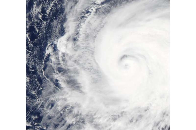
Typhoon Kilo's eye gets a NASA style close-up

NASA's Aqua satellite got a close-up of Typhoon Kilo's eye as it moved through the Northwestern Pacific Ocean.
The MODIS or Moderate Resolution Imaging Spectroradiometer instrument aboard NASA's Aqua satellite zoomed into Typhoon Kilo's eye on September 3. MODIS looked at the eye with a 250 meter (0.15 mile/273 yard) resolution close-up. The image showed an eye mostly covered by high clouds, however, the northern eyewall was visible.
At 1500 UTC (11 a.m. EDT) on September 4, 2015, Kilo's maximum sustained winds were near 75 knots (86.3 mph/138.9 kph). It was centered near 23.4 North latitude and 175.7 East longitude, about 565 nautical miles (650 miles/1,046 km) east-northeast of Wake Island. Kilo was moving to the west at 6 knots (6.9 mph/11.1 kph).
The Joint Typhoon Warning Center (JTWC) expects Kilo re-strengthen as it moves through warm waters above 30 Celsius (85 Fahrenheit). JTWC expects Kilo to peak at 120 knots on Sept. 7 after passing Wake Island. After that peak weakening is forecast to being as the storm turns to the west-northwest. For updated forecasts, visit the JTWC website: http://www.usno.navy.mil/JTWC/.
Provided by NASA's Goddard Space Flight Center


