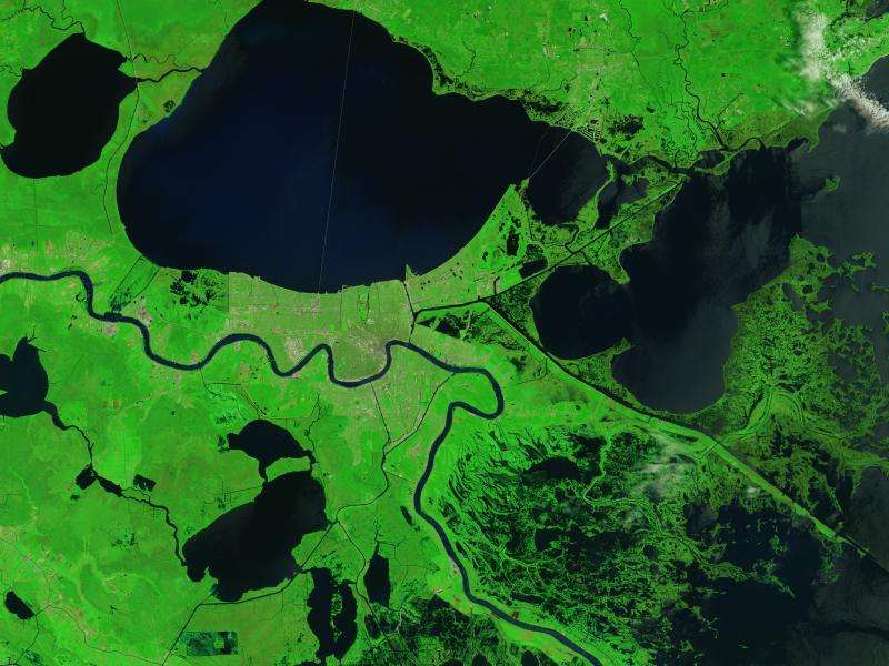
Image: Signs of Katrina linger in the marshes

Ten years after making landfall, scars from Hurricane Katrina still linger. And not just in the blighted houses that mar some neighborhoods. The marshes and swamps that buffer New Orleans from the Gulf of Mexico still show evidence of Katrine's wrath.
The wetlands surrounding Delacroix, a fishing town to the southeast of New Orleans, were some of the hardest hit by the hurricane. Pounding surf, driving winds, and a potent storm surge transformed the marshes by picking apart mats of dead grass, stirring up and disbursing soft underlying sediments, scouring several new channels, and depositing leftover sediment and debris in new areas.
Katrina delivered a massive surge of water that dramatically enlarged lakes, including Lake Lery and Petit Lake. It also scoured new channels and widened canals in ways that eliminated large amounts of marshland. As seen in the 2015 image, flood-damaged vegetation has returned to its normal color, but the enlarged waterways have persisted.
Provided by NASA


