Giant magnet to reveal ancient underground waterways

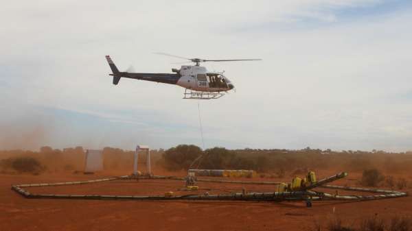
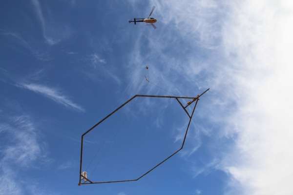
A helicopter carrying a giant electromagnet has traversed great swathes of the east Murchison to gather data to map ancient underground waterways.
In the biggest survey of its kind in WA, the helicopter travelled about 90m above the earth suspending a magnet measuring 28m long and 16.5m wide.
The magnet detected variables in the earth's electrical conductivity over an area as big as Croatia (around 57,000km2).
Analysing such variables will reveal what lies up to 250m beneath the earth's surface.
Resultant information will be compared with existing bore field information and fed into computer modelling systems to reveal a three dimensional picture of ancient waterways beneath the earth, known as paleochannels.
The information is expected to be particularly useful to regional planners, pastoralists and mining interests in a region lacking surface water.
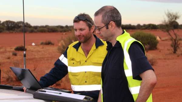
Department of Water senior hydrogeologist Scott Macaulay says the information will also reveal how fresh and how deep the water is, based on its conductivity.
He says such information will prove useful in making water management decisions.
"Towns like Cue, Mount Magnet and Meekatharra will be able to use this information for long-term town water supply planning," Mr Macaulay says.
He says the information will also guide Department of Water decisions on applications to access groundwater, by revealing where groundwater-dependent ecosystems lie.

Mr Macaulay says he is particularly impressed with how the project covered such an enormous area—six per cent of the state, or around twice the size of Ireland—with a relatively limited budget.
"Doing something like this on a regional scale within a limited budget resulted in us being very clever in how we did the survey, how we secured the data and how we will transform the data," he says.
Rather than fly over the entire 150,000km2 area, Mr Macaulay's team used information from basic paleochannel mapping from the 1980s to refine the search area.
This mapping proved too inaccurate to pinpoint underground waterways for drilling, but it enabled them to reduce the search area to 57,000km2.

Mr Macaulay says paleochannels are remnants of ancient river systems which once flowed on the earth's surface.
Over the millennia the river flow deposited sand and gravels which accumulated to the point the rivers became buried under the surface.
With the helicopter survey complete, Mr Macaulay expects to have a basic picture of the underground waterways within two months and a refined image of what lies beneath the surface by mid next year.
Provided by Science Network WA


